
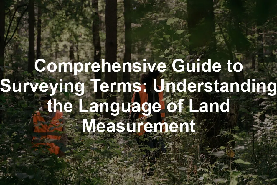
Introduction
Surveying is essential for effective land management and development. It helps determine property boundaries, assess land features, and guide construction projects. Knowing surveying terms is vital for professionals and anyone interested in real estate. This blog post offers a detailed glossary of key surveying terms to enhance your understanding.
Summary and Overview
Surveying involves measuring and mapping land. It’s crucial in construction, real estate, and environmental management. Accurate terminology can significantly affect project outcomes and legal disputes. As surveying techniques and technology evolve, understanding these terms becomes even more relevant. This guide serves as a comprehensive resource for both newcomers and seasoned professionals in the field.
Types of Surveys
– Boundary Survey
This survey establishes property lines and corners. It’s crucial for real estate transactions and legal clarity. For a deeper understanding, check out our article on boundary survey.
A boundary survey is essential for establishing property lines and ensuring legal clarity in real estate transactions. Learn more about boundary surveys here.
– Topographic Survey
This survey maps land contours and features. It’s essential for planning and construction projects.
– Construction Survey
This type guides construction activities. Accuracy is critical to ensure structures align with engineering plans.
– Cadastral Survey
This survey defines land ownership boundaries. It plays a vital role in taxation and property rights.
Understanding these surveying types helps you navigate real estate and construction processes with confidence.

Essential Surveying Equipment
Total Station
A total station is a modern surveying tool. It combines the functions of a theodolite and electronic distance measurement (EDM). This device measures angles and distances simultaneously, allowing for precise calculations. Surveyors can easily record data for various applications, making it essential in today’s surveying practices. If you’re looking for a reliable total station to elevate your surveying game, check out this Total Station that combines precision with user-friendly features!
GPS Systems
GPS technology has revolutionized land surveying. With GPS, surveyors can pinpoint locations with incredible accuracy. It uses satellites to determine exact positions on Earth. This method saves time and improves efficiency in projects, from mapping to construction. Consider investing in a high-quality GPS System to take your surveying accuracy to the next level!
Theodolite
The theodolite is a classic instrument for measuring angles. It has a rotating telescope that allows surveyors to take precise angular measurements. This device is crucial for establishing horizontal and vertical alignments. It remains a staple in both traditional and modern surveying. Enhance your surveying toolkit with a top-notch Theodolite that ensures your angles are always on point!
Levels and Measuring Tapes
Levels and measuring tapes are fundamental tools in surveying. Levels ensure that structures are built on a flat plane, vital for stability. Measuring tapes provide quick distance measurements, essential for various tasks. These instruments are indispensable for achieving accuracy in height and distance evaluations. Don’t underestimate the power of simplicity; grab a reliable Measuring Tape for those quick measurements!

Key Surveying Terms
Benchmark
A benchmark is a reference point with a known elevation. It helps establish the height of other points in surveying. Surveyors use benchmarks to ensure consistency in their measurements. This term is crucial for accuracy in mapping and construction projects.
Contour Line
Contour lines are vital for creating topographic maps. They connect points of equal elevation, depicting the terrain’s shape. These lines help visualize land features, such as hills and valleys. Understanding contour lines is essential for planning construction and land use.
Datum Point
A datum point serves as a reference for measuring elevations. It is often based on sea level, providing a consistent baseline. Surveyors use datum points to relate other measurements accurately. This term is fundamental for ensuring precise elevation data in various projects.
Triangulation
Triangulation is a method for locating points using angles. Surveyors measure angles from known points to determine the position of unknown points. This technique is essential for creating accurate maps and layouts. It remains a key practice in traditional and modern surveying.
Metes and Bounds
Metes and bounds is a traditional land description system. It defines property boundaries using physical features and distances. This method offers a detailed way to describe land parcels. It is particularly important in legal contexts for establishing property lines.
Surveying Units of Measurement
Acre
An acre is a unit of land measurement. It equals 43,560 square feet, commonly used in real estate. Understanding how to convert acres into other units is essential for land transactions. This unit helps convey property size clearly and accurately.
Chain
A chain is a historical surveying unit of length. It measures 66 feet, traditionally used in land surveys. While modern technology has reduced its use, chains still appear in some contexts. Knowing this unit helps understand older survey documents and practices.
Rod and Pole
When it comes to land measurement, both rods and poles are significant. A rod measures 16.5 feet, while a pole is often used interchangeably with a rod. These units are vital for establishing property boundaries and conducting surveys. Despite their similarities, some surveyors prefer one over the other based on tradition or local preference.
Rods and poles apply to various surveying tasks, from agricultural land measurement to real estate. Understanding their definitions helps in interpreting older survey documents. While modern technology has introduced more precise tools, these traditional units still hold value in specific contexts. For further insights into the significance of rods in surveying, refer to our post on an introduction to statistical learning with python book length.
Understanding the role of rods in land measurement is crucial for interpreting older survey documents. Read more about it here.

Surveying Techniques
Photogrammetry
Photogrammetry captures measurements from photographs. This method is essential for creating accurate maps. It allows surveyors to analyze terrain features without extensive ground surveys. Photogrammetry saves time and resources, making it a popular choice in various projects. Its importance in mapping cannot be overstated. If you want to enhance your surveying capabilities with photogrammetry, check out this Photogrammetry Software that can streamline your mapping process!
Lidar
Lidar technology uses lasers to measure distances. It provides high-resolution data about the Earth’s surface. Surveyors use Lidar for mapping vegetation, terrain, and even urban areas. This technology enhances accuracy and efficiency in modern surveying practices. Lidar represents a significant advancement in the field. Consider investing in a Lidar Device to elevate your surveying accuracy!
GIS (Geographic Information Systems)
GIS is crucial for analyzing spatial data. It helps in organizing and managing geographic information effectively. With GIS, surveyors can visualize relationships between different data layers. This technology plays a vital role in urban planning, environmental management, and resource allocation. Understanding GIS is key to modern surveying practices. For a comprehensive guide on GIS maps, check out our post on core-based statistical area gis map.
GIS technology is essential for effective spatial data analysis and management in surveying. Learn more about GIS maps here.

Legal Aspects of Surveying
Easement
An easement allows one party to use another’s property for specific purposes. This legal right can significantly affect land ownership and usage. Understanding easements is essential for landowners and developers alike. They often come into play in property transactions and can influence development plans.
Right-of-Way
Right-of-way refers to the legal right to pass through another’s land. This concept is crucial in land surveys, especially for utilities and roads. Knowing the implications of right-of-way can help avoid potential disputes. It’s essential for anyone involved in land development or real estate.
Land Title
Land title establishes legal ownership of a property. Surveying plays a key role in confirming and defining these titles. Accurate surveys help prevent disputes over property lines and ownership. Understanding the relationship between surveying and land title is vital for property transactions. Ensuring clear title can save time and money in the long run.

Modern Trends in Surveying
Use of Drones
Drones have transformed surveying practices. Unmanned Aerial Vehicles (UAVs) offer high-resolution imagery. They capture detailed terrain data quickly and efficiently. Surveyors use drones for large areas where traditional methods fall short. This technology reduces time and labor costs. Plus, it minimizes risks associated with difficult terrains. If you’re considering using drones for your surveys, check out this Drone with Camera that offers stunning aerial views!
Digital Mapping
Digital mapping has revolutionized accuracy in surveying tasks. Advanced software allows for precise data collection and visualization. Surveyors can create detailed maps that reflect real-world conditions. This technology enhances project planning and execution. As a result, efficiency in land management improves significantly. For those interested in digital mapping, consider using GIS Mapping Software that simplifies your data analysis!
Real-Time Data Collection
Real-time data collection offers immediate insights in the field. Surveyors can analyze data on-site, leading to quicker decisions. This capability helps identify and resolve issues promptly. It also enhances collaboration among team members. Real-time data ensures everyone is on the same page, boosting productivity. Equip yourself with a Portable Printer for Field Use to instantly print reports and maps!

Conclusion
Understanding surveying terms is vital for effective land management. Familiarizing yourself with this glossary aids in practical scenarios. It enhances your comprehension and communication in the field. For further learning, explore additional resources on surveying practices and terminology. Embrace the knowledge to navigate land management confidently.
FAQs
What is the most common type of survey used in real estate?
Boundary surveys establish property lines and are crucial in transactions.
How has technology changed the field of surveying?
Advancements like GPS, drones, and digital mapping have enhanced accuracy.
What is the difference between a boundary survey and a topographic survey?
A boundary survey focuses on property lines, while a topographic survey maps land features and contours.
For further insights or to share your experiences with surveying terms, feel free to leave a comment below! Would you like to download a printable glossary of surveying terms? Subscribe to our newsletter for updates on surveying practices and terminology!
Thank you for reading till here 🙂 And while you’re at it, don’t forget to check out some must-have Construction Safety Gear to keep yourself protected on the job site!
All images from Pexels