
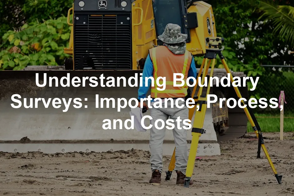
Introduction
A boundary survey defines property lines accurately. This survey is crucial for property owners and developers. It ensures clarity in ownership and helps avoid disputes. Experienced surveyors conduct these surveys, blending expertise with precise measurements.
Summary and Overview
Boundary surveys serve to determine the exact limits of a property. They play a vital role in resolving disputes and ensuring legal clarity. These surveys help avoid conflicts over property lines, especially between neighbors. They are necessary before property purchases, renovations, or construction projects.
In this article, we will discuss the definition of boundary surveys, their importance in property transactions, and different scenarios where they are needed. We will also cover the process involved and the associated costs.

What is a Boundary Survey?
A boundary survey is a detailed assessment that establishes the precise boundaries of a property. This type of survey differs from land surveys, which encompass broader measurements, including topography and features.
Boundary surveys focus specifically on identifying property corners and lines. They clarify the extent of ownership and show the legal boundaries defined in property deeds. This clarity can prevent misunderstandings and disputes among property owners.
Legally, boundary surveys have significant implications. They provide documented evidence of property lines, which can be used in court if disputes arise. According to recent studies, around 70% of property disputes are resolved through boundary surveys.
In essence, boundary surveys are essential for anyone involved in property transactions, ensuring that property owners understand their rights and responsibilities. If you’re considering buying or developing a property, a boundary survey can provide peace of mind and legal assurance.
Understanding the importance of boundary surveys can help you avoid legal complications. Learn more about boundary surveys here.
Key Components of a Boundary Survey
Conducting a boundary survey involves several key elements essential for accurate property delineation. These components ensure that property lines are defined precisely, providing peace of mind for owners and developers alike.
Field Survey Measurements
First, surveyors gather field measurements using advanced tools. They utilize GPS receivers, theodolites, and total stations to determine property boundaries. These measurements help establish the property’s corners and edges accurately.

Documentation of Existing Markers
Next, surveyors document existing markers. This includes any physical signs like fences, stakes, or monuments that indicate property lines. By recording these markers, surveyors ensure they have a clear reference point. This is crucial for preventing future disputes over boundary lines.
Research of Historical Property Records
Finally, thorough research of historical property records is vital. Surveyors examine deeds, previous surveys, and local land records. This research provides context for the property boundaries and helps clarify any ambiguities.
Accurate documentation is essential throughout this process. It ensures that all findings are reliable and can be used for legal purposes if necessary. Did you know that on average, boundary surveys take about one week to complete? Investing time in a boundary survey can save you from potential disputes later on.
For a detailed evaluation of your property’s boundaries, consider consulting a licensed surveyor. They can provide you with the expertise needed to navigate this complex process effectively.

The Process of Conducting a Boundary Survey
When it comes to defining property lines, a boundary survey is essential. This process involves several detailed steps, ensuring accuracy and legal clarity. Let’s break down the phases involved in conducting a boundary survey.
Initial Consultation and Research
The first step is an initial consultation. During this meeting, the surveyor gathers information about the property. You might discuss your specific needs and concerns. This helps the surveyor understand the context of the survey.
Following the consultation, the surveyor conducts thorough research. They check legal documents, including deeds and historical records. This research is crucial for identifying existing property lines and any potential discrepancies. A comprehensive understanding of the property’s history lays the groundwork for accurate measurements.

Fieldwork and Data Collection
Next, the surveyor heads into the field. This phase involves physical measurements of the property using specialized tools. Equipment such as theodolites, total stations, and surveyor’s level tools come into play here. These tools help in pinpointing exact boundaries and corners of the property.
During fieldwork, the surveyor looks for existing markers, such as fences or boundary stones. If markers are missing, new ones will be established. This process ensures that the survey reflects the actual conditions on the ground.

Final Report Preparation
Once fieldwork is complete, the surveyor prepares a final report. This report includes a detailed surveyor’s report, outlining the findings. It typically contains maps, measurements, and descriptions of property boundaries.
The final report serves as an essential legal document. It can be used in disputes or when transferring ownership. Additionally, it provides you with clarity on your property lines. The surveyor’s findings can help prevent future misunderstandings with neighbors.
The cost of a boundary survey varies, generally ranging from $300 to $800. Factors influencing the cost include property size, terrain, and legal complexity.
If you’re considering a boundary survey, reach out to a professional surveyor. Their expertise ensures that your property boundaries are accurately defined, protecting your investment and peace of mind.

Costs Associated with Boundary Surveys
Understanding the costs of a boundary survey is crucial for property owners. On average, a boundary survey ranges from $300 to $800. However, prices can vary widely based on several factors.
The size of the property is a significant cost influencer. Larger lots usually require more time and resources to survey, increasing the overall price. Similarly, the terrain plays a crucial role. If the land is rugged or densely vegetated, surveyors may face challenges that require extra time and equipment, further driving up costs.
Complexity also impacts pricing. If there are existing disputes or unclear boundaries, additional research and legal considerations can arise. This may include examining historical records or even court documents, which adds to the survey’s overall cost.

Investing in a boundary survey is essential. Without it, property owners risk potential legal disputes, which can be far more costly than the survey itself. According to studies, properties without clear boundary definitions often lead to conflicts, resulting in legal fees that can exceed thousands of dollars.
To make an informed decision, it’s wise to obtain quotes from multiple surveyors. This not only helps you compare costs but also ensures you find a qualified professional suited to your needs. Remember, the right survey can protect your property value and investment in the long run.
Conclusion
Boundary surveys play a vital role in property management. They ensure clarity in ownership, helping to prevent disputes that can arise from unclear property lines. Professional expertise is essential for accuracy, as this process can be complex.
For anyone involved in property ownership or development, considering a boundary survey is not just advisable; it’s essential. Take the step to secure your property rights and avoid future legal complications.

FAQs
What is the difference between a boundary survey and a land survey?
A boundary survey focuses specifically on defining property lines and corners. It identifies the exact limits of a parcel of land. In contrast, a land survey encompasses a broader scope. It includes topographical features, elevations, and land use. While boundary surveys are crucial for resolving disputes or confirming ownership, land surveys are often necessary for development projects. Understanding these distinctions helps property owners choose the right type of survey for their needs.
How often should I get a boundary survey?
You should consider a boundary survey when purchasing property, planning renovations, or if a dispute arises. Additionally, if you make significant changes to your property, like building a fence, a survey can ensure compliance with local regulations. It’s also wise to have an updated survey if the property’s surrounding area has changed, such as new constructions or alterations by neighbors. Regular surveys can help maintain clarity about your property lines.
Can a boundary survey help with property disputes?
Yes, boundary surveys can effectively resolve conflicts between neighbors. They provide clear documentation of property lines, which helps settle disagreements about boundaries. A well-conducted survey establishes legal definitions, making it easier to address encroachments or other issues. When disputes arise, having a boundary survey can serve as an impartial reference point, reducing tension and confusion. It often leads to amicable agreements based on factual evidence.
What should I do if my boundary survey reveals an encroachment?
If your boundary survey identifies an encroachment, the first step is to communicate with the neighbor involved. Discuss the survey results and express your concerns. If a resolution isn’t possible, consider seeking legal advice. A lawyer can help you understand your rights and options, which may include mediation or formal legal action. It’s essential to document all communication and keep records of the survey findings to support your case.
Are boundary surveys legally binding?
Boundary surveys are considered legally binding documents. They provide authoritative evidence of property lines and ownership, often used in court cases. However, the effectiveness of a survey can depend on local laws and regulations. Surveyors must adhere to legal standards when conducting surveys, ensuring accurate and reliable results. For property owners, having a legally recognized boundary survey is crucial for protecting their rights and preventing disputes.
Please let us know what you think about our content by leaving a comment down below!
Thank you for reading till here 🙂
And while you’re here, if you’re into DIY projects, check out this DIY Home Renovation Book to get inspired for your next home improvement adventure!
Also, consider investing in a Home Security System to keep your property safe while you focus on those renovations!
All images from Pexels